Liz Aberback
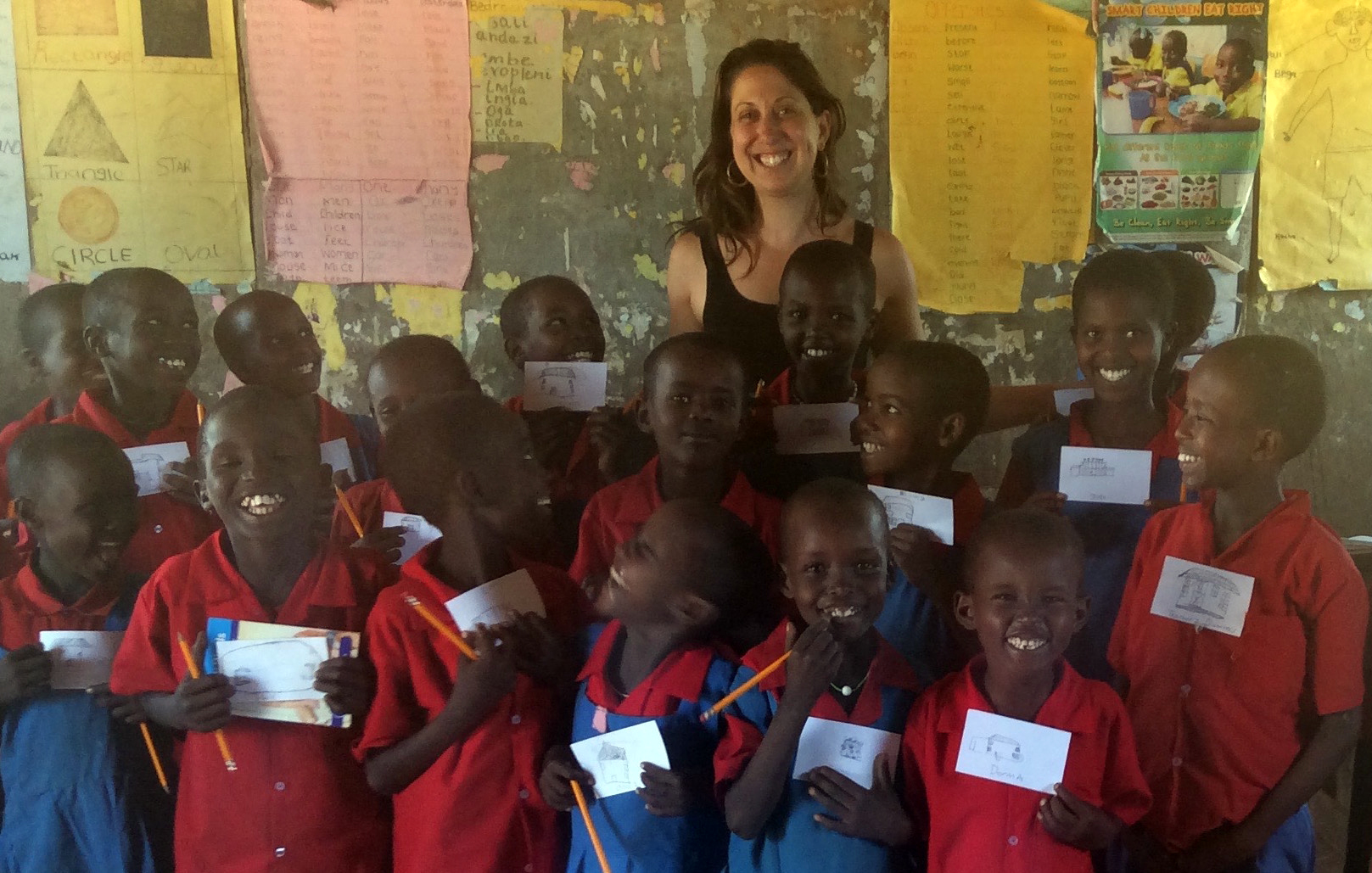
While in Ndonyo Wasin this summer I spent time with the Standards 1, 2 and 3 classes to work on a project that my Packer 1st Grade class does every year: studying our neighborhood. In 1st Grade we often take neighborhood walks around Brooklyn Heights to observe, discuss, and visually document the important people and places that make this community thrive. The students pictured here are in Standard 1 and were assigned with working collectively to create a map of the Ndonyo Wasin Primary School’s campus. To do this we walked around the school campus and each student chose one building to draw and label on an index card. Next the class came back together and worked as a group to create one map of the campus. With the help of their teacher, Mr. Gatuso, one at a time each child thoughtfully placed their structure where they thought it belonged in relationship to another. What resulted from their combined efforts was a map of the campus. They asked for me to bring the index cards back to Brooklyn so that the map can be recreated and shared with the students at Packer. Standard 2 took part in the same activity to document the buildings of the village of Ndonyo Wasin. Standard 3 drew portraits of the school’s faculty.